


4 km | 5,3 km-effort


Usuario


Aplicación GPS de excursión GRATIS
 SityTrail
IGN / Institutos geográficos
SityTrail World
El mundo es suyo
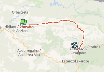
Ruta Senderismo de 20 km a descubrir en Navarra, Desconocido, Villanueva de Aezkoa. Esta ruta ha sido propuesta por phelan.
Distance/elevation: 20.6 km / ( 840 m), (-1,000 m)
Time: 5h45min (walking time whitout stops).
Difficulty: medium, due to the accumulated elevation gain and loss as well as distance covered. Signalling of the route is excellent. You will just have to take extra precaution, in case of fog, to make sure you do not lose track of the signs in the exposed areas between Paso Tapla and Paso de las Alforjas.

A pie
A pie

A pie


A pie
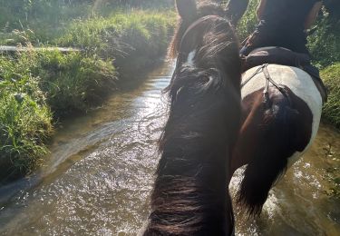
Paseo ecuestre

A pie
A pie
A pie